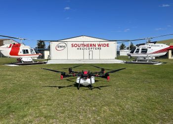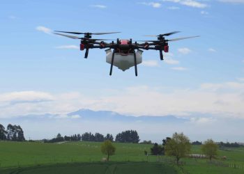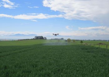

AI Technology
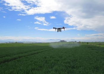
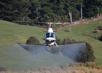
Weed patches are selectively targeted in crops
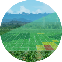
Multi-spectral NDVI
Detection of the different crop vigour to target certain areas for chemical, fertiliser, or seed application.
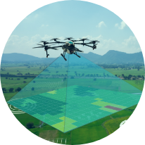
RTK centimetre level navigation
High precision guaranteed with real-time positioning

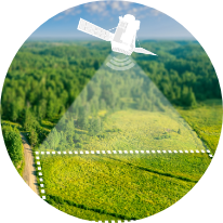
Multiple mapping options
Satellite
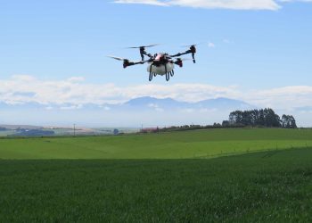
Mapping drone
Handheld mapping